Western Australia Police Force Seeks GIS Enterprise Architecture Platform.
Western Australia Police Force Seeks GIS – Western Australia Police Force is seeking a geographic information system to meet current and future requirements.
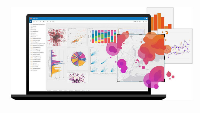
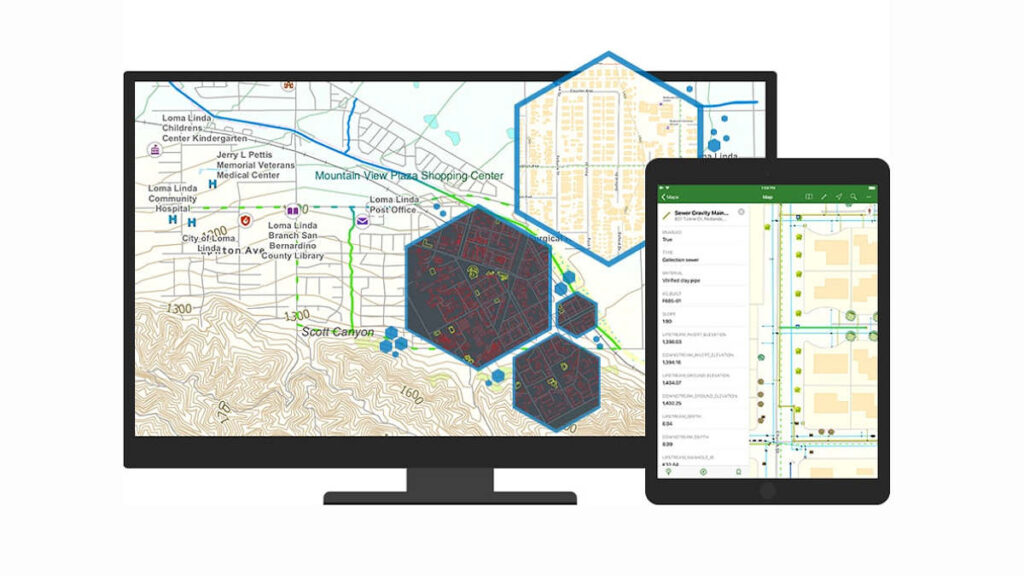
Geographic information systems are designed to store, retrieve, manage, display, and analyse all types of geographic and spatial data then apply AI, to give law enforcement, emergency services and security teams increased operational awareness in real time.
As well as displaying information, GIS software lets users produce maps and other graphic displays of geographic information for analysis and presentation to allow best operational response to unfolding situations.
The WA Police Force is seeking proposals for a comprehensive GIS – this may be achieved by a like-for-like solution (WAPOL currently uses an ESRI solution), or with application of an alternative solution.
This Western Australia Police Force Seeks GIS tender closes on December 10 – you can learn more here, discover the ESRI GIS here, or read more SEN news here.
“Western Australia Police Force Seeks GIS Enterprise Architecture Platform.”


